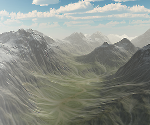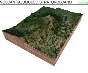
Chaiten volcanic caldera 3d model terrain
Chaitén volcanic caldera 3d model terrain. 3d model landscape of the Mount Chaitén
3d model landscape of caldera Chaitén , Andes Mountain Range, Palena Province, Los Lagos Region, Chile.
High Poly mesh High detailed model
with 6K textures - Diffuse map - AO map - Displacement map - Normal map - Roughness map
The Blend file do not require the displacement, but you can still use it if you want to create other model yourself
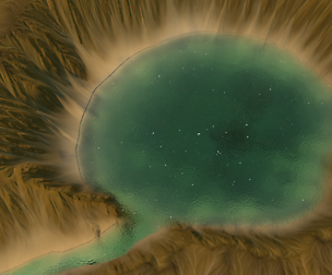
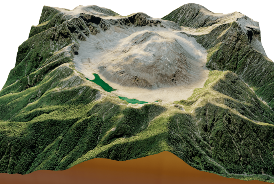
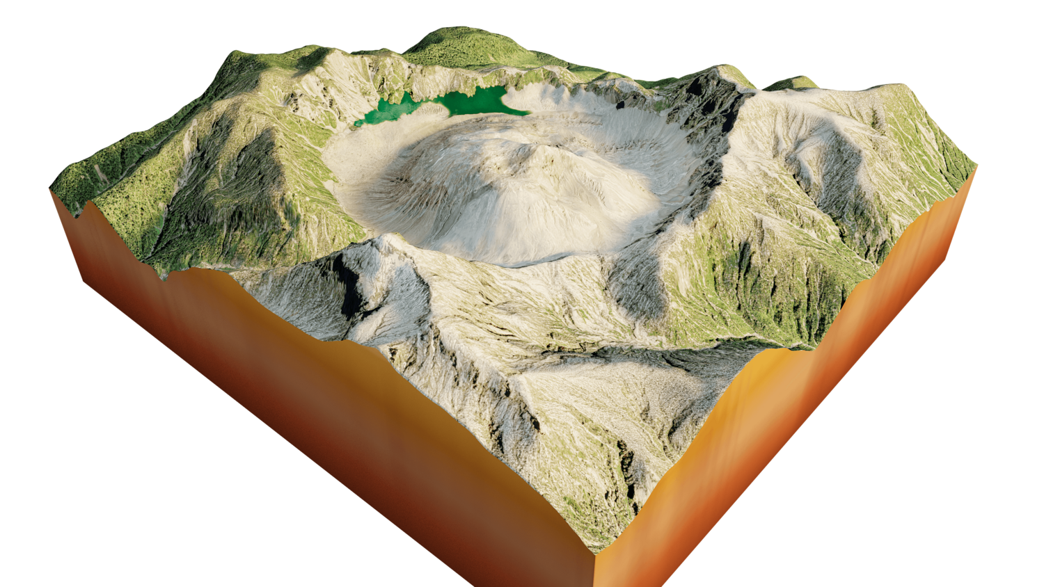
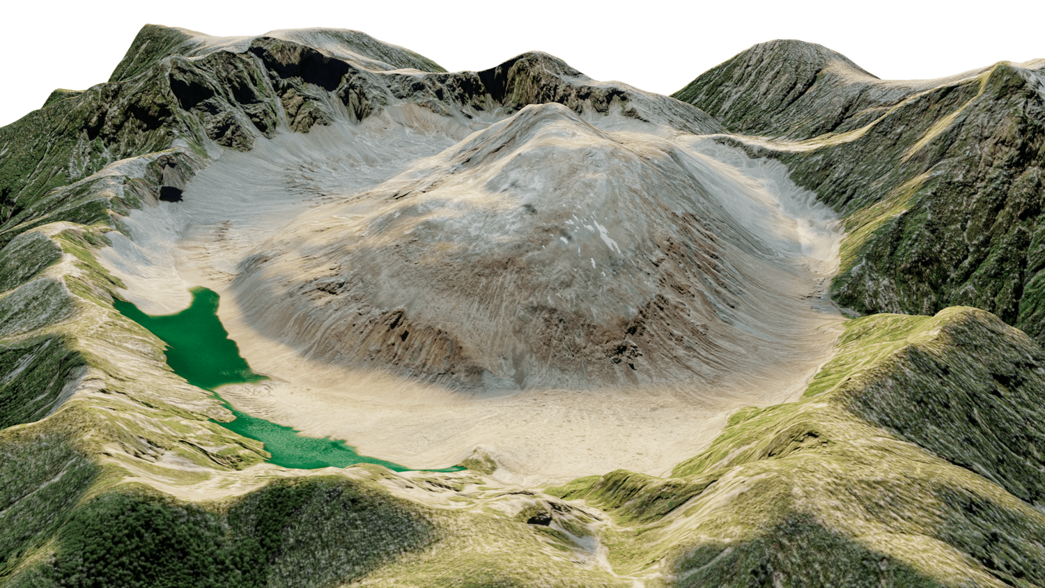
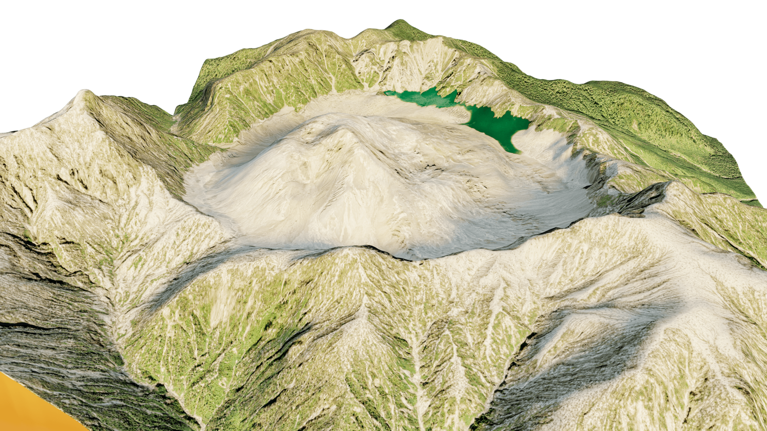
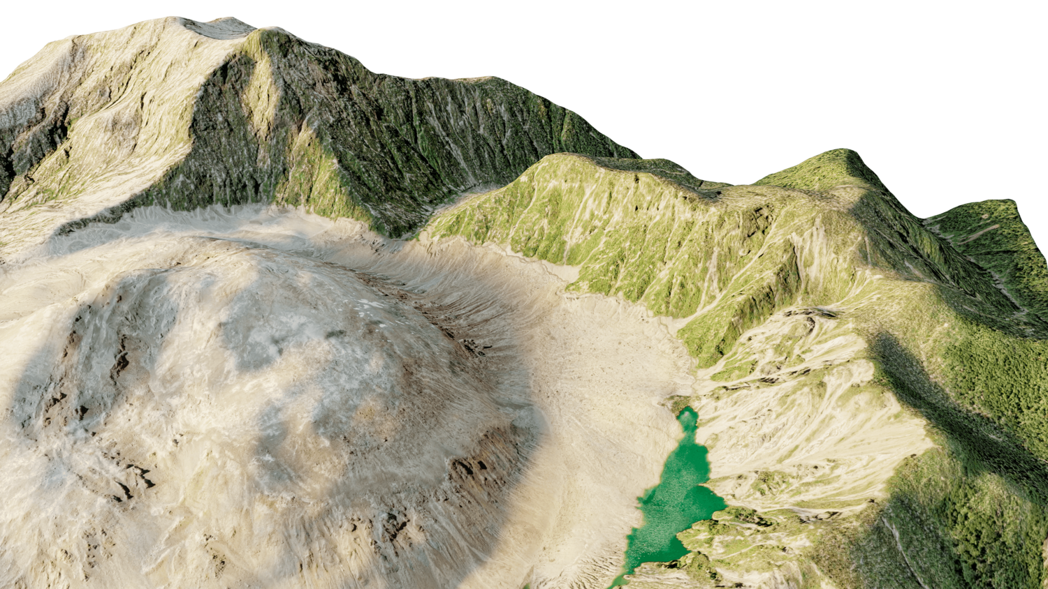
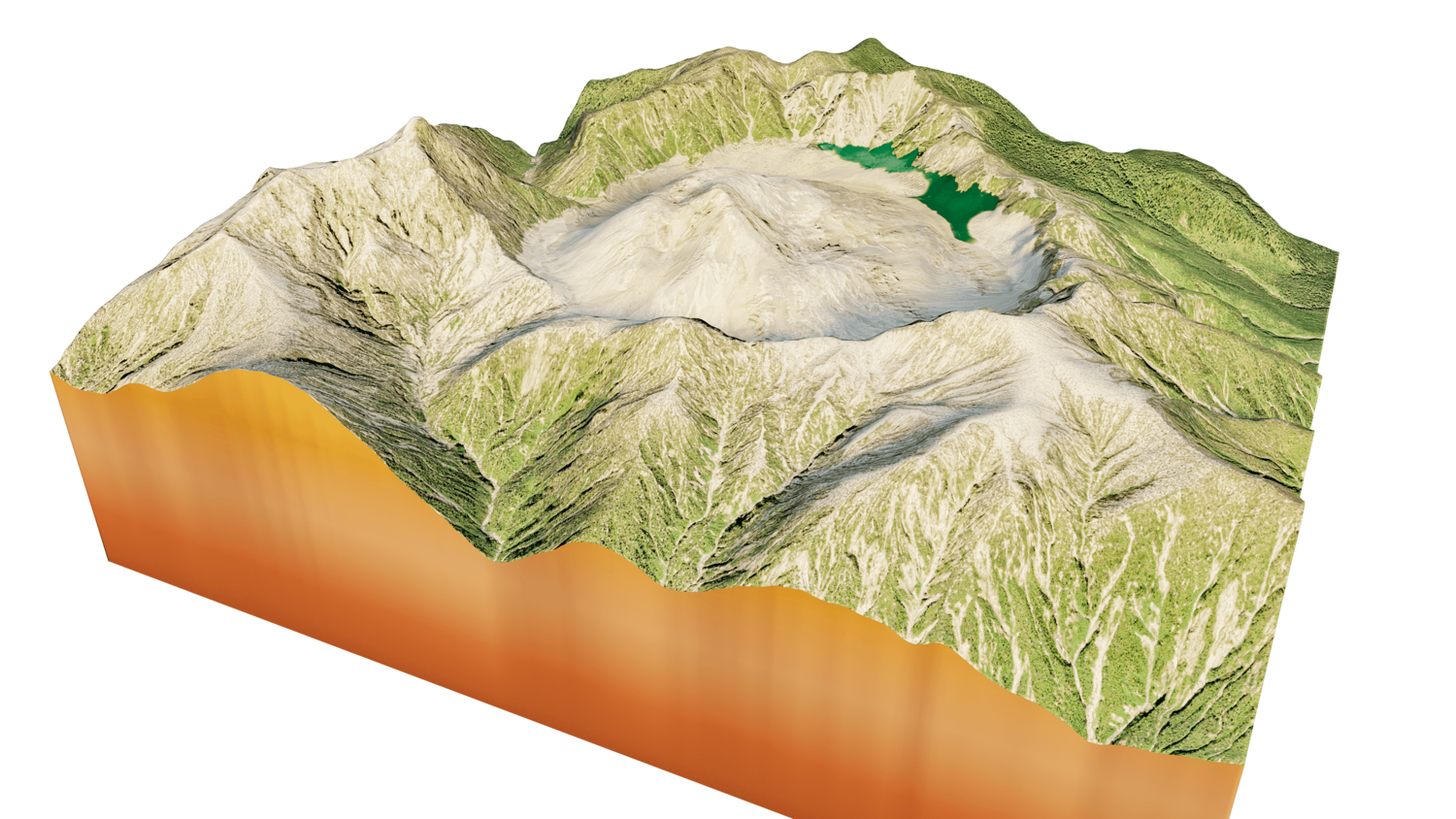
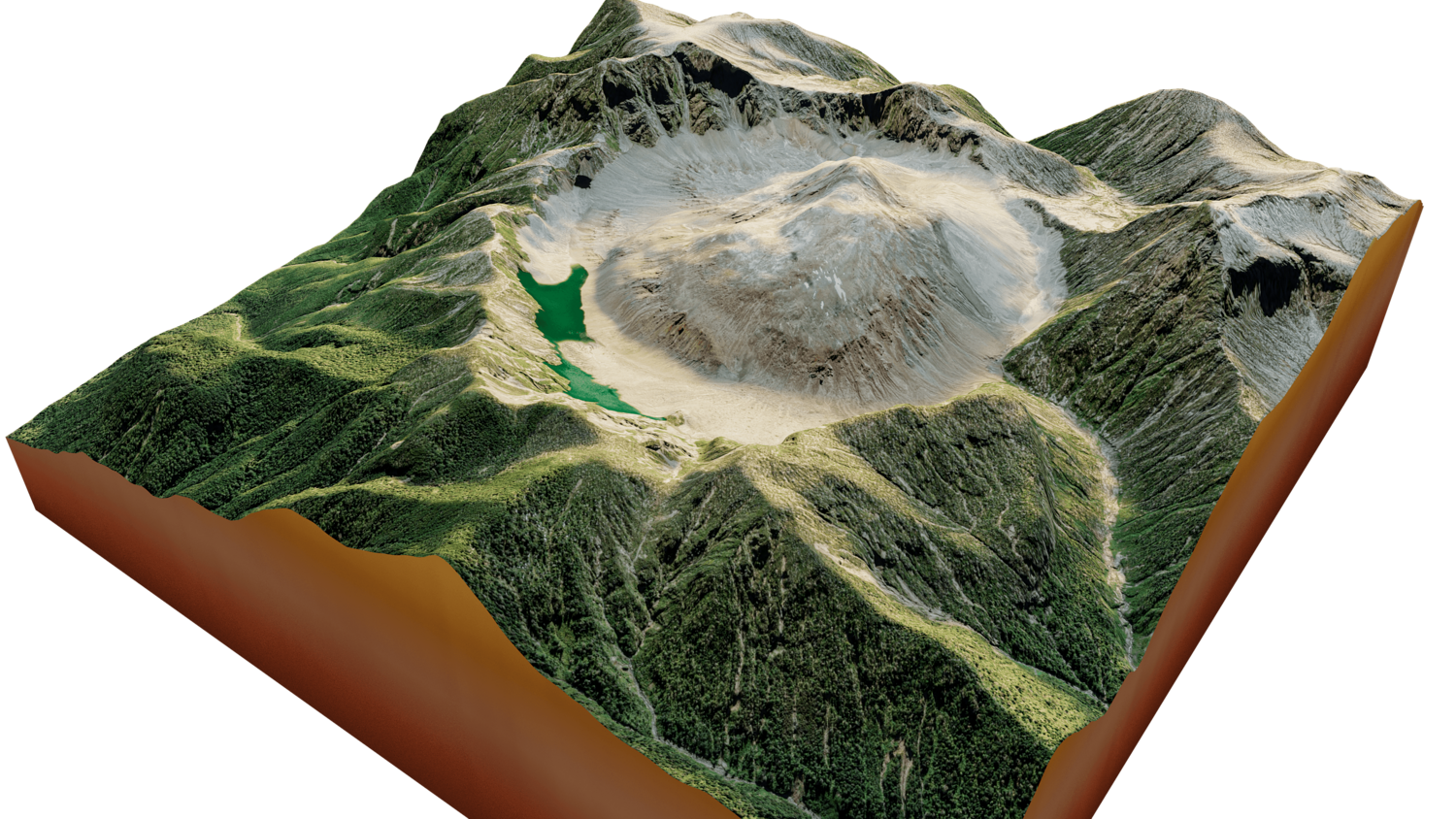
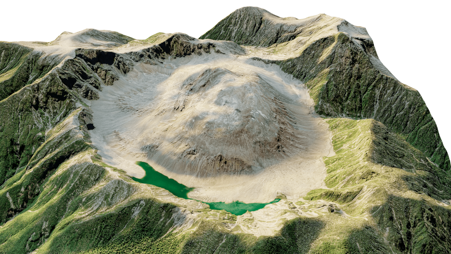
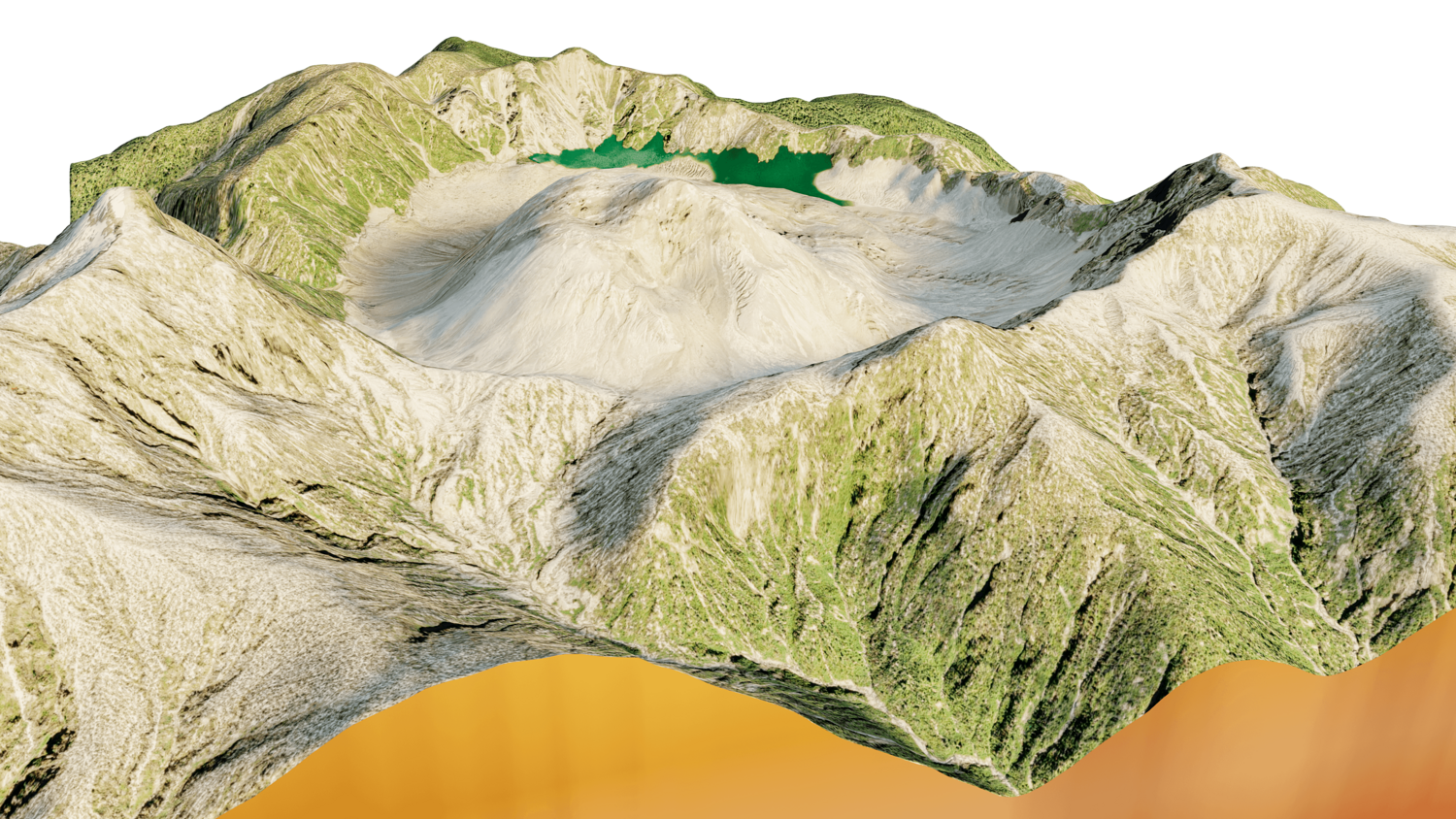
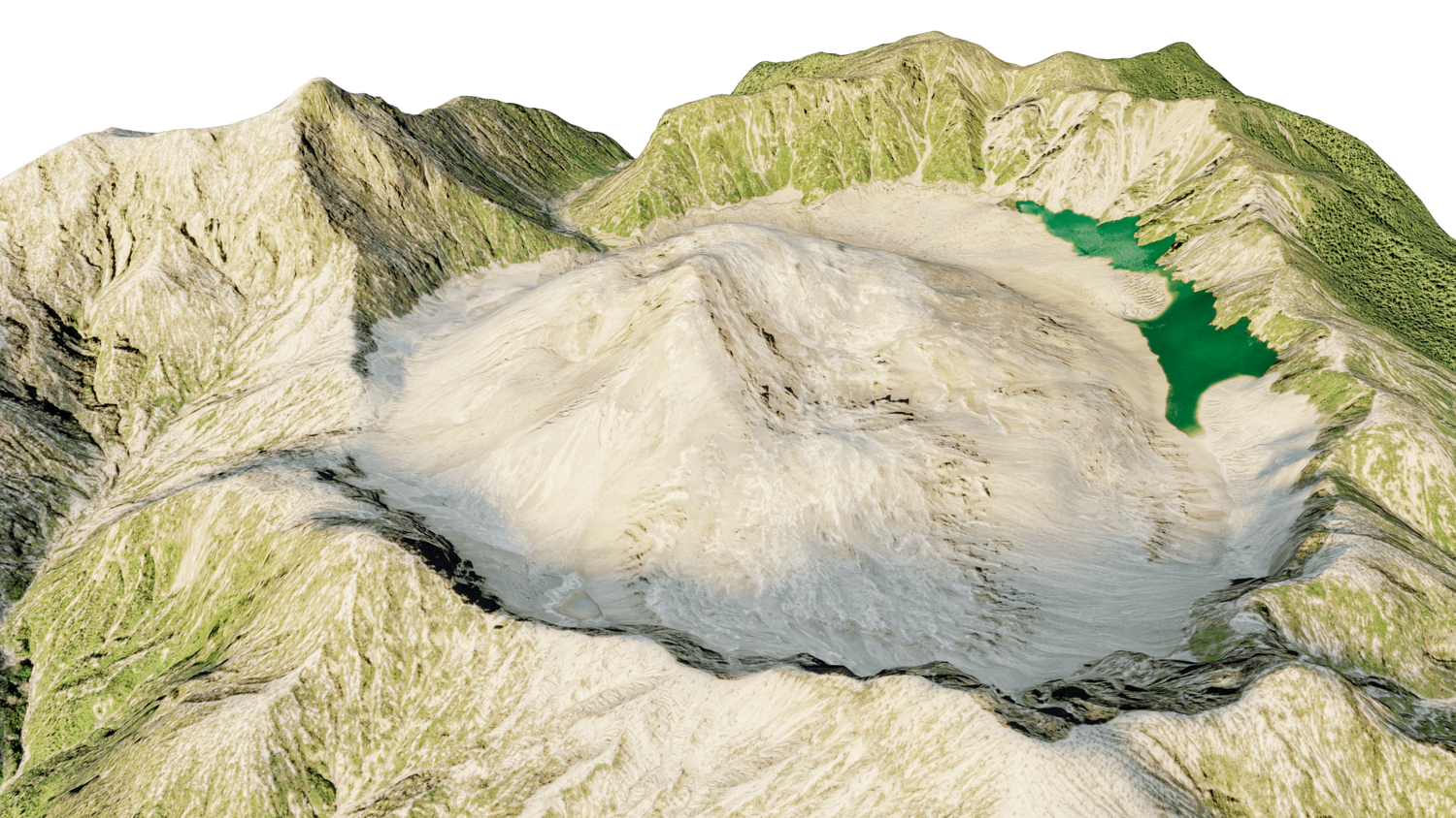
texture example from the caldera Chaitén , Andes Mountain Range, Palena Province, Los Lagos Region, Chile. Chaitén is a volcanic caldera 3 kilometres in diameter, 17 kilometres west of the elongated ice-capped Michinmahuida volcano and 10 kilometres northeast of the town of Chaitén, near the Gulf of Corcovado in southern Chile. The most recent eruptive phase of the volcano erupted on 2008.
Model Details
- FormatsOBJ, STL, FBX, BLEND
- Polygons81809
- Vertices82393
- animatedno
- materialsyes
- texturesyes
- riggedno
- uvsyes
- 3d print readyno
You will get 6 files
All files previously purchased will always be available for download in your Library