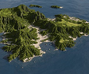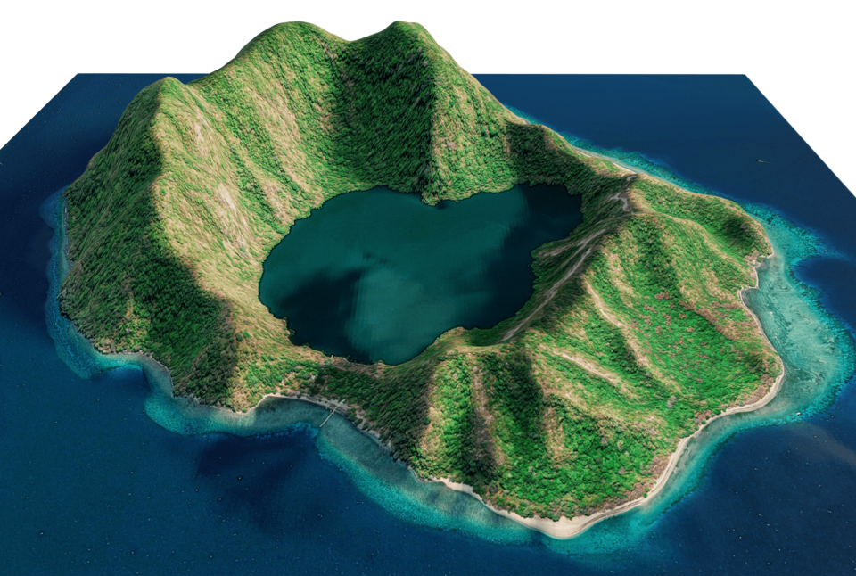

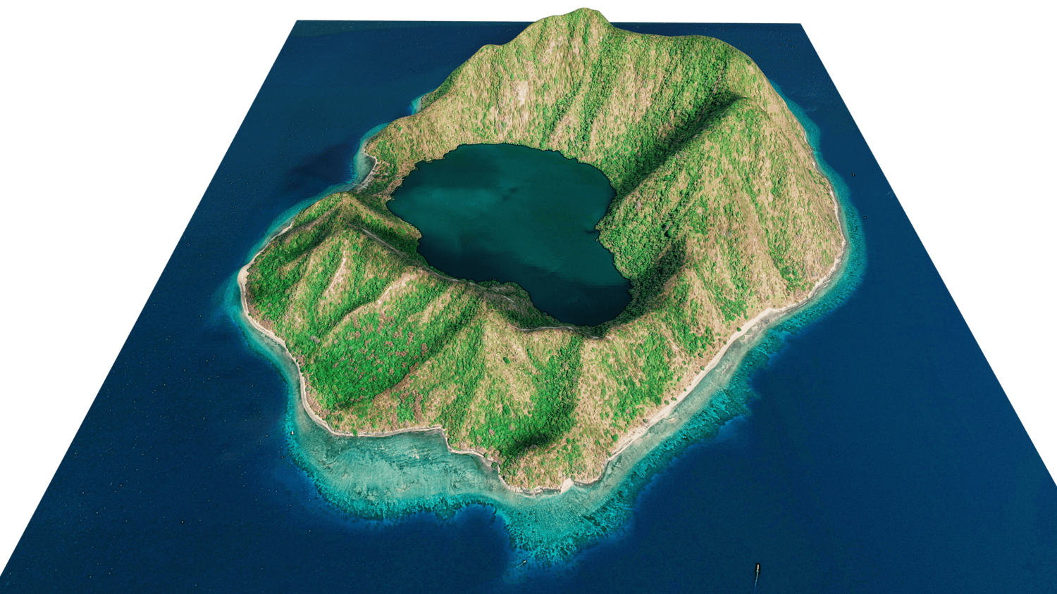


Satonda Island 3d Model Terrain
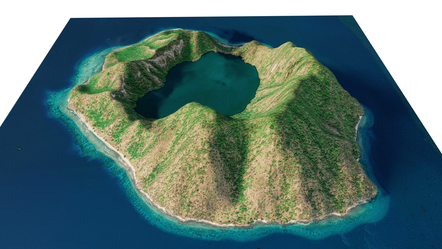
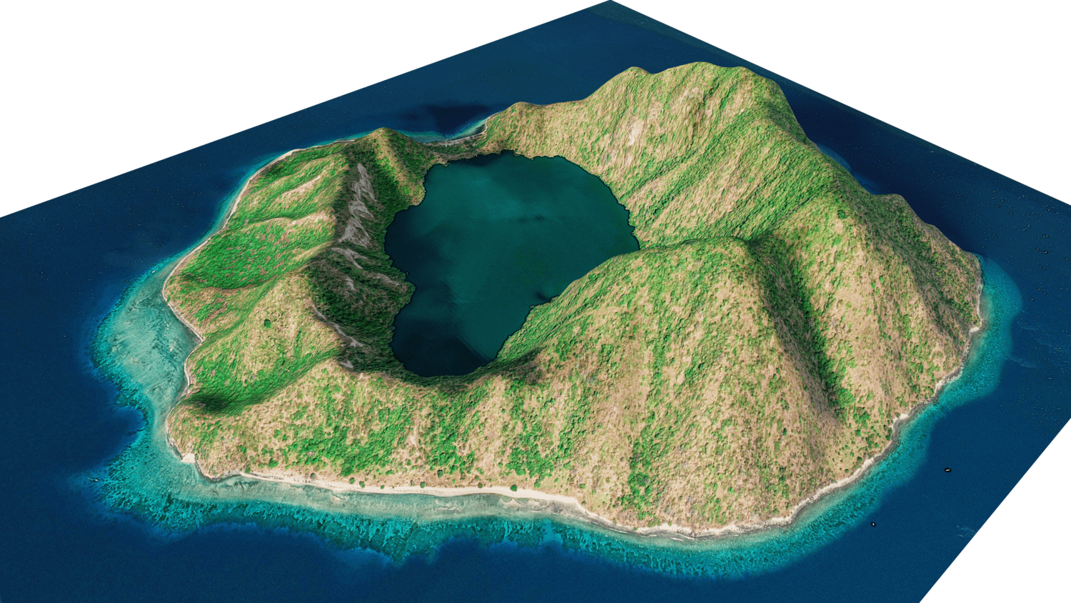
Satonda Island 3d Model Terrain. 3d model landscape of the Satonda Island with its landscape of mountains, beaches and forests and lake.
full 3d terrain model of Satonda Island, Dompu Regency, West Nusa Tenggara, Indonesia.
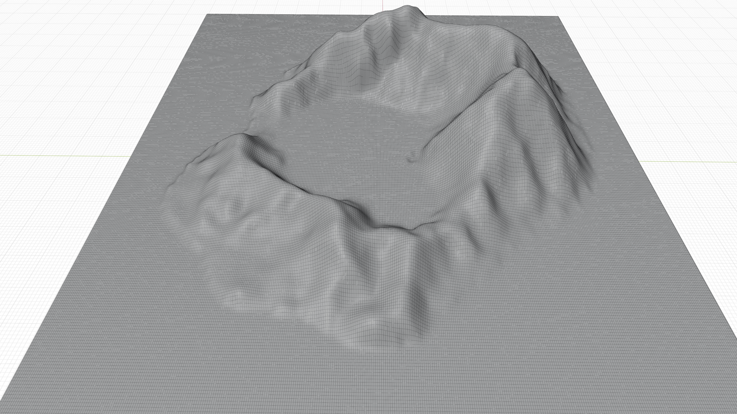
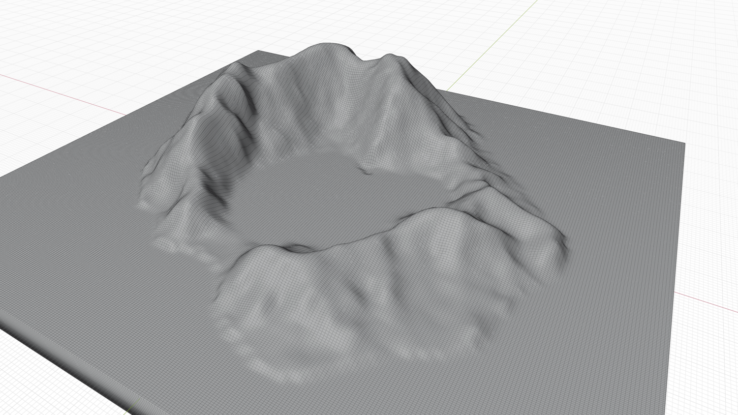
High Poly mesh High detailed model
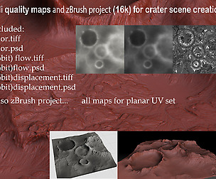
with 6K textures - Diffuse map - AO map - Displacement map - Normal map - Roughness map
The Blend file do not require the displacement, but you can still use it if you want to create other island model yourself
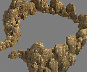
Texture example from the Satonda Island, Dompu Regency, West Nusa Tenggara, Indonesia. Satonda is an island in West Nusa Tenggara province of Indonesia. It is off the north coast of Sumbawa island. The Island is located in Dompu Regency, 3 km from Sanggar Strait in the Flores Sea and is administratively part of the Nangamiro Village area of Pekat District. Satonda island was formed from the eruption of Mount Satonda thousands of years ago. There is a lake in the middle of the island, which has an area of 77 hectares, occupying two nested craters 39 and 69 meter deep as determined by echosounding.
Model Details
- FormatsOBJ, STL, FBX, BLEND
- Polygons93393
- Vertices94009
- animatedno
- materialsyes
- texturesyes
- riggedno
- uvsyes
- 3d print readyno
You will get 5 files
All files previously purchased will always be available for download in your Library